Showing results 1 to 10 of 461 for “maps ohio”

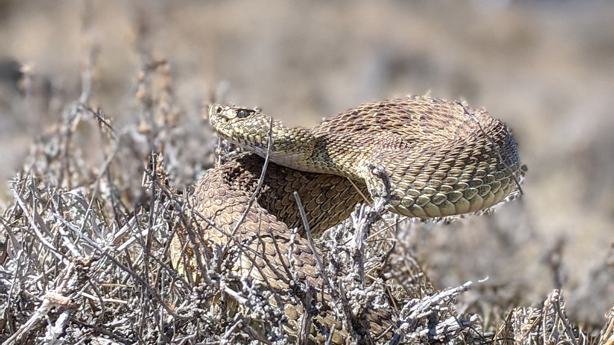
On the Buckeye XPress (BXP) project in southern Ohio, four state-approved herpetologists are on speed dial with TC Energy’s construction team. Part of the pipeline is near a snake hibernaculum, or winter snake den, where species protected by the state, such as the timber rattlesnake, are known to roam. For that reason, the BXP team has put in place mitigation measures to ensure the safety of snakes—as well as its workers from the venomous reptiles.

Not a lot of people can state on their resumes that they’ve been the project manager for the successful construction of more than 70 new homes – all built within just a few months. Except for TC Energy Environmental Representative Melissa Dettling who worked with the BXP project team to construct log homes and two-layered rock structures for snakes along the right of way of the BXP pipeline, which went into service on Jan. 1, 2021.

How TransCanada is building up the economy and local communities with the Leach XPress Project.

The operations maps depict where our assets serve your communities. Learn more about our natural gas and power projects and assets, including pipelines and storage.
The Crossroads Pipeline is a 202 mile (365 km) natural gas pipeline operating in Indiana and Ohio.

The NKY Gate Enhancement Project aims to modernize the acquired system and meet the growing natural gas demand in the region.
The map depicts where the pipeline transports natural gas from Texas, Oklahoma, and Louisiana to cities and towns in Wisconsin, Michigan, Illinois and Ohio. The two major legs of ANR Pipeline converge near Chicago. ANR also provides access to TransCanada’s extensive natural gas storage operations in Michigan.

Take a closer look at maps of our North American oil & liquids operations.